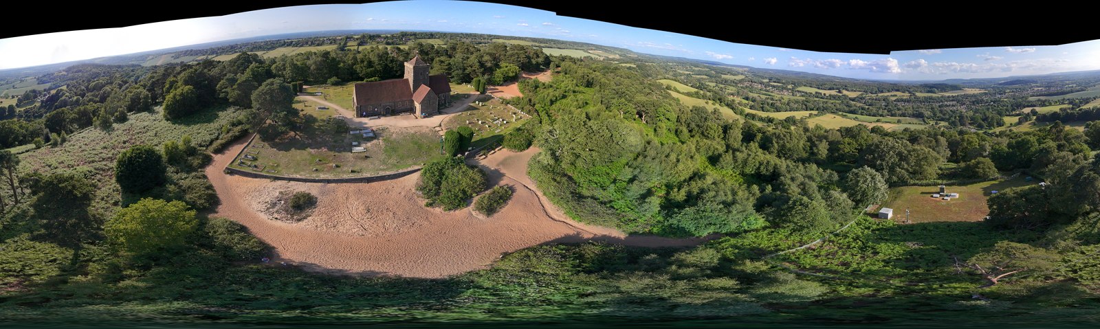
St Martha's Hill and Chilworth
Guildford, Surrey
St Martha’s Hill sits at the crossing point of the North Downs Way, the Greensand Way, and the Pilgrims Way, which gives it an unusual layered quality for a Surrey hillside - well-used but never reduced to a single type of walker. The ascent from Chilworth is steep on sandy soil, gaining around 120 metres in under a kilometre, and the sandy surface is the characteristic that sets this walk apart from the Surrey clay and chalk majority. It drains well when dry. When wet, it becomes slippery, so grip matters if you are coming between November and March.
Dogs must stay on paths and under close control throughout; there is no formal off-lead designation here. Leads are expected in the churchyard at the summit. The bridleways on the Chantries section are shared with mountain bikers, which is worth knowing if your dog needs to be kept in close.
There are no bins anywhere on this route - carry waste out. The Tillingbourne at Chilworth near the base is shallow enough for paddling in normal conditions, though check the water clarity after heavy rain given the valley’s industrial history. The Percy Arms is close by, takes dogs in the bar, and has the river running through its grounds.
Frequently asked questions
Is St Martha’s Hill part of the North Downs Way?
Yes. The North Downs Way National Trail passes through the site. The Greensand Way and Pilgrims Way also converge near the hill, making it one of Surrey’s great walking crossroads. Views on clear days extend over eight counties.
How steep is the ascent to St Martha’s Church?
The main sandy path involves approximately 120m of elevation gain over around 700m - steep enough to require care in wet conditions. The sandy surface becomes slippery when wet. Boots with grip are essential. Most moderate-fitness walkers will feel this ascent.
Can my dog drink or paddle in the Tillingbourne?
Dogs can paddle at Chilworth near the base of the hill. The river is shallow and normally accessible. Be aware that the Tillingbourne has a history of industrial pollution from the former gunpowder and other mills; check water clarity after heavy rain when silt may be disturbed.
Is there parking at the church?
No parking at the summit. Use Halfpenny Lane Car Park (GU4 8PZ) or Guildford Lane Car Park (GU5 9BQ), both free but with a 1.9m height restriction. There are no facilities at either car park.
Plan this walk with live weather and dog-safe route info