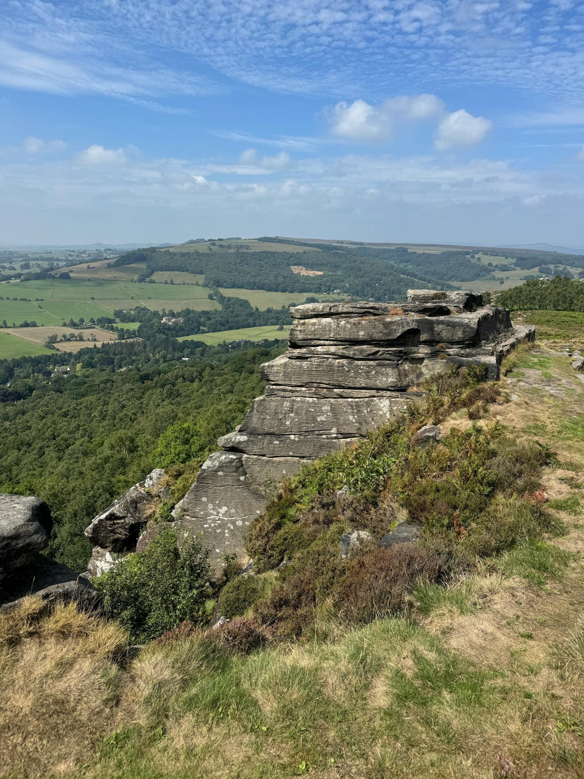
Stanage Edge and Hathersage Moor
Hathersage, Derbyshire
Stanage Edge is one of the Peak District's iconic gritstone escarpments - a long dark crag running across the moor above Hathersage, with climbers on the rock face on most days and wide views east across the Hope Valley.Dogs can be off lead across most of the moor. The moor is managed for grouse, and from August 12th shooting may be taking place on or near the route - local signage will indicate this. This is one of the most satisfying walking routes in the Peak District for both dog and owner, and the edge views are among the best of any day walk in the north of England.
Stanage Edge runs for about five kilometres along a gritstone ridge above the Hope Valley, and the approach from the Plantation car park near Hathersage is the most direct way onto the moor. The ridge itself is broad and flat on top, with views east across the Sheffield suburbs and west into the Derbyshire hills. Dogs are off-lead on the open moorland, but the Edge has a working climbing face with steep drops on the eastern side - not the place to let a dog with no sense of height range freely near the rim. Sheep are present across the moorland from spring through autumn and reliable recall is necessary. The Eastern Moors below the Edge are designated adder habitat; from April to September the bracken and tussock areas on the descent paths are best avoided by dogs that push into undergrowth. The path can be wet and boggy after rain, particularly in the lower moorland sections. The Plantation car park is the most practical base; the Norfolk Arms at Ringinglow is a short drive and dog-friendly inside.
Frequently asked questions
Can I take my dog to Stanage Edge?
Yes, dogs are welcome at Stanage Edge. Off-lead is possible on the open moorland but sheep graze widely across the area, so leads are essential near livestock and during lambing season (March to May). The gritstone edge has steep drops on the climbing side - keep dogs away from the cliff face. The terrain is exposed moorland with rough paths. Weather on the tops can change rapidly. Adders are present on the Eastern Moors. Parking is available at the Hollin Bank or Dennis Knoll car parks (charges may apply).
Plan this walk with live weather and dog-safe route info